Bandelier National Monument is 10 miles south of Los
Alamos, via mountain road NM 4.
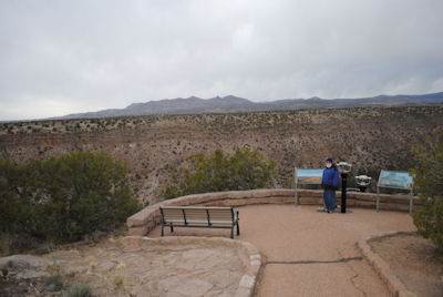 |
The road and park building can be seen
below in the long narrow Frijoles Canyon. 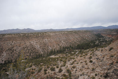
|
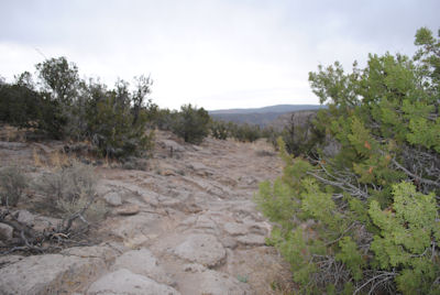
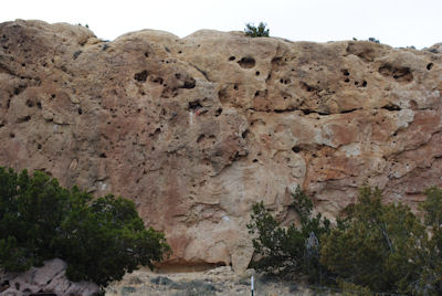
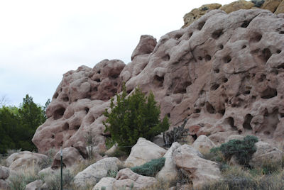
Ground is hard, dry and rocky.
Hard to believe that the ancestral Puebloan people lived here for
hundreds of years, hunting wild game and growing corn and beans, but
that was over a thousand years ago.
|
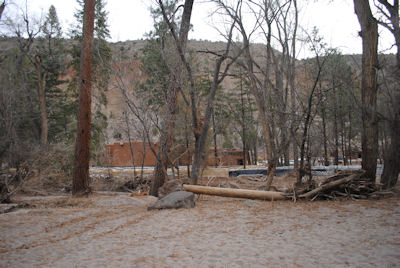
Driving down into the Canyon, we followed a stream west
to the park headquarters and toured the small museum.
 |
The stream had flooded this area a few weeks earlier, washing
out the trail that led to the cave dwellings and petroglyphs. That and threat of thunder storms
made for a short visit
|
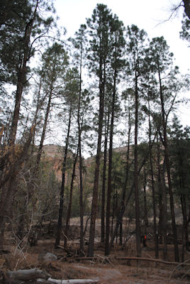
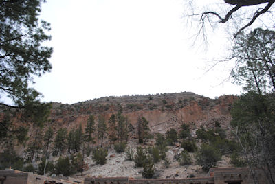
Rocky, sheer cliff with trees rise above the
adobe park building
|
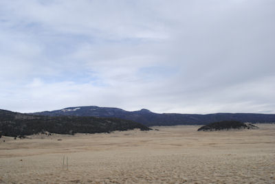
Continuing west on route 4 with its 10 mph switchbacks,
we entered Valles Caldera National Preserve on a one lane
dirt/gravel road. 14 miles in diameter, this is one of the world's
largest calderas.
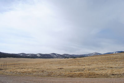
|
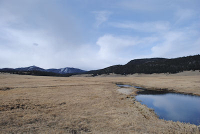
The preserve is 89,000 acres surrounded by snow covered peaks over 10,000 feet high.
There are deer, mountain lions, elk, turkey and other
wildlife.
|
The Jemez River flows through the valley
|
|
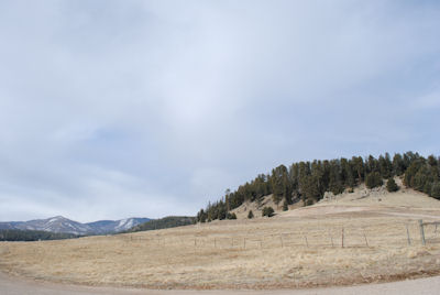
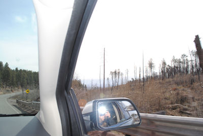
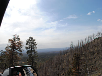
The previous year there
was a fire in these Jemez mountains.
With the steep terrain and lack of roads, it must have been hard to stop the fire
|
 |
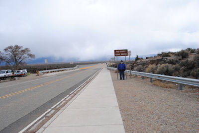
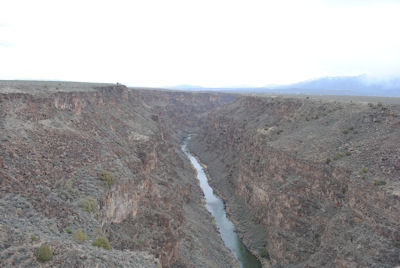
Steve standing on the Rio Grande Gorge bridge,
which is 12 miles west of Taos via NM64. We got a little snow from the low handing clouds that blocked our view of
the 13,161 foot Wheeler Peak, the highest point in New Mexico.
|
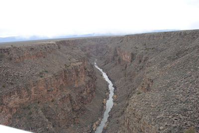
650 feet below the bridge is the river in its steep sided canyon.
Looking south
|
|
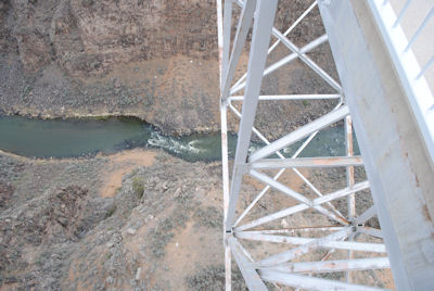
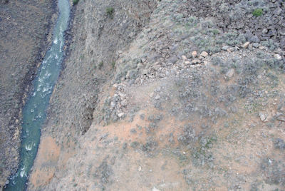
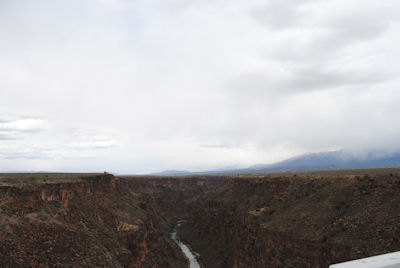
Little grows on the rocky sides of the canyon
|
Looking north from the bridge
|
Land on either side of the Gorge is fairly flat
 |
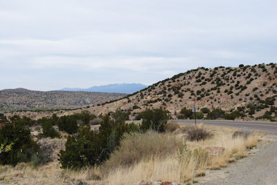
South of Taos on NM68 looking north
|
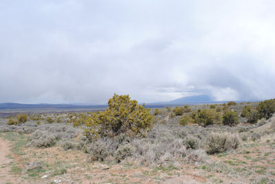
Looking west. The
Rio Grande Canyon is out there beyond those buildings
|
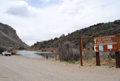
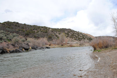
Continuing south
from Taos. For a few miles, the road is next to the river.
The Rio Grande Race Course looking south, and a parking area where boats
can be put into the river. The river was low due to drought.
|
|
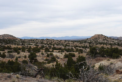
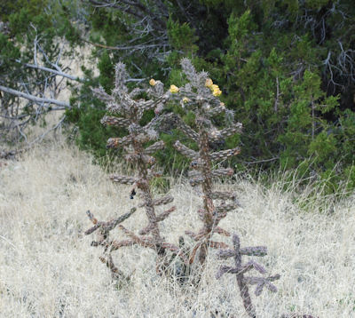
South of Santa Fe, route 14 had little traffic. Road is called
the Turquoise Trail as it passes through several towns which had coal, gold, silver and turquoise mines in the 1880 - 1950s.
 |
 |
 |
 |
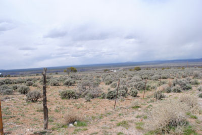
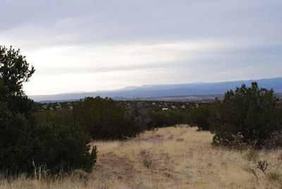
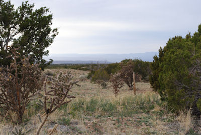
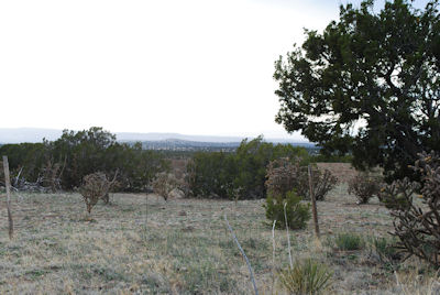
Looking west to the Rio Grande valley, south of Santa Fe
|
|
There were barbed wire fences but we didn't see any livestock
|
|
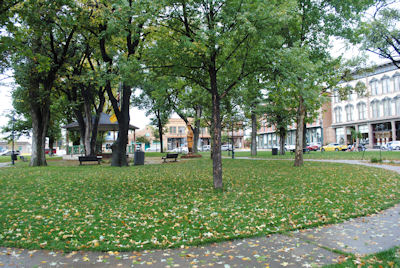
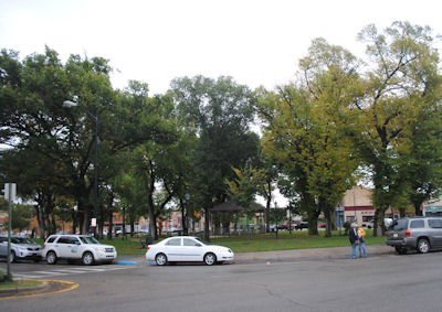
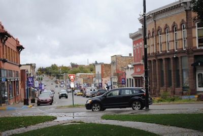
The Square with its historical buildings in Las Vegas NM.
The Netflix show "Longmire" shoots many of its scenes in
the Las Vegas area.
|
|
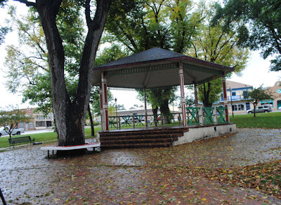
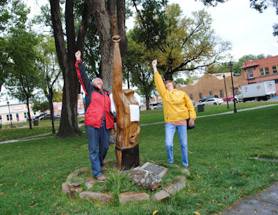
Goofing off in the Square
|
Longmire films March - June. The empty parking space is where
Sheriff Longmire parks his Bronco, then walks across the street to his office
|
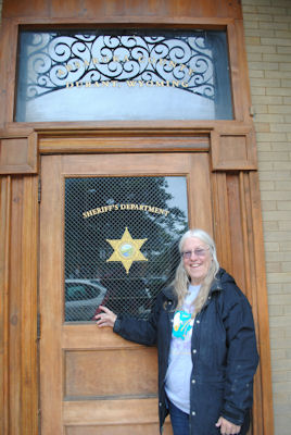
Being a Longmire fan, I had to see the Absaroka County Sheriff Office,
which was locked in October
|
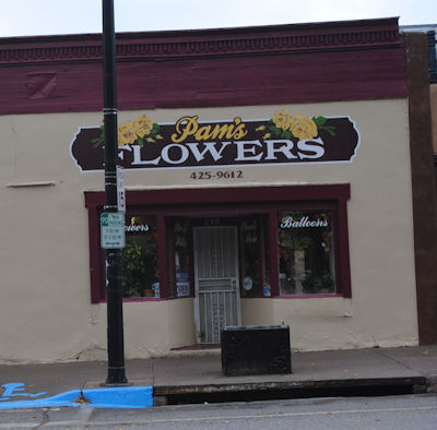
The flower shop on the Square, also used in Longmire scenes
 |
|
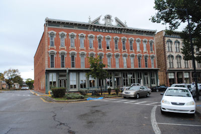
The Plaza Hotel on the Square, built in 1880. Used for indoor and outdoor
Longmire scenes
|
Main Street from the Square going east
|
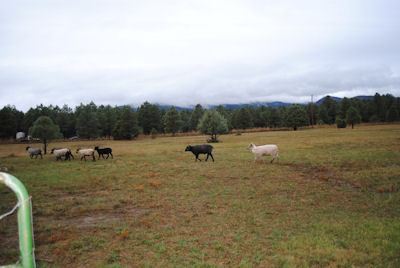
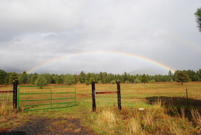
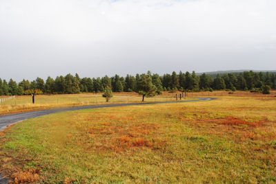
My friend's ranch west
of Las Vegas in the mountains at over 7000 feet. Her sheep are in a
fenced pasture but much of the land in this area is open range.
|
Again, I had cloudy skies during my time in New Mexico.
Could barely see the snow capped ten thousand foot high mountains
|
I liked being able to walk around here, and not worry about
rattlesnakes which are rare at this high altitude.
|
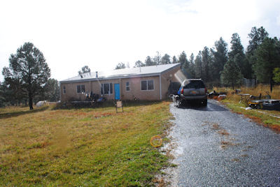
House has 3 bedrooms, 2 baths and a great room. Is passive solar
(the back of the house is glass facing south) with a metal roof to collect rainwater for the garden.
|